Southern Ocean: Facts, Climate, and Geography
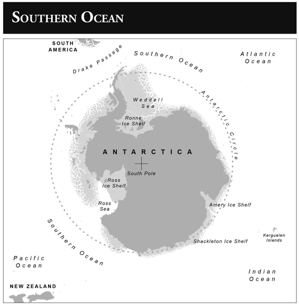
The Southern Ocean (as recognized in the 2002 IHO draft) covers 4 percent of the Earth’s surface and is smaller than all other oceans except the Arctic—20,327,000 km2 (7,843,000 m2), or about twice the size of the United States. It has an average depth of 3,270 metres. Its deepest point is in the South Sandwich Trench at 7,236 metres (23,737 ft). Several seas are found within the Southern Ocean, including the Amundsen, Bellingshausen, Lazarev, Ross, and Weddell Seas, as well as parts of the Scotia Sea and the Drake Passage. The Southern Ocean is the only ocean that completely encompasses a landmass (Antarctica) with approximately 18,000 kilometers of coastline.
Antarctica was previously part of the supercontinent Gondwana, which also included South America, Africa, India, and Australia. During the Cambrian Period (540-485 million years ago), eastern Antarctica was equatorial and western Antarctica was in the Northern Hemisphere. Gondwana drifted southward, and by the Devonian Period (360 million years ago), Antarctic regions were centered near the South Pole, although there was still plant life on the continent at that time. Gondwana began to separate in the Jurassic Period (160 to 65 million years ago), and the final separation occurred twenty-three million years ago as the Drake Passage opened between South America and Antarctica. At that point, water in the Southern Ocean began to circulate continuously around the Antarctic continent, isolating it from the other landmasses. That was the beginning of the Southern Ocean, the youngest ocean geologically on the planet. At this time, an ice sheet formed across 98 percent of the continent, making Antarctica what it is today—on average, the highest, coldest, windiest, driest landmass on Earth.
The Southern Ocean maintains its distinct physical and biological differences from the surrounding oceans through its continuously circulating Antarctic Circumpolar Current (ACC). Because no landmass impedes the flow, the ACC can move clockwise (eastward) entirely around Antarctica. It does so because continual sea surface winds combine with the Coriolis effect (from the rotation of the planet) to create the Ekman transport. This results in water moving northeasterly at a 45° angle in relation to the wind direction. The ACC is the dominant feature of the Southern Ocean and moves from 100 to 170 million m3 of water per second; this is more than the Gulf Stream and up to 150 times the flow of all rivers on the planet combined. Sailors used the ACC for centuries to increase easterly travel rates.
The Southern Ocean climate is the coldest and roughest marine environment in the world with sea temperatures ranging from -2°C under sea ice (where water stays liquid because of high concentrations of salt) to 10°C in the northernmost regions during summer. Frequent storms and continual water movement lead to large wave formations. Fifty percent of the time below 50°S, the mean wave height is 4 to 5 meters or higher. In 2017, a buoy south of New Zealand at 53°S measured a 19.4-meter (60-ft) wave and 50-knot surface winds within its first two months of deployment. The waves are most dangerous between Cape Horn and the South Shetland Islands and the Antarctic Peninsula. This is because the entire Southern Ocean water transport constricts into an 800-kilometer channel known as the Drake Passage (named for the famous English privateer Sir Francis Drake).
Besides rough waves and high winds, there are additional natural hazards, including icebergs that may be many kilometers long with drafts up to several hundred meters. Multiple smaller bergs and fragments also endanger ships. During winter, the sea ice pack extends to 55°S and can be more than a meter thick even at the edges. Major storms and thick ice preclude travel to and from Antarctica by all ships and nearly all aircraft for five to six months a year, meaning that emergency rescues of scientists and staff at Antarctic research stations are nearly impossible during this period.
Like the Arctic, the Antarctic experiences growth and retreat of sea ice seasonally. However, a major difference is the positioning of nearby landmasses. The Arctic is a cold ocean basin surrounded by land and has year-round sea ice above 70°N. The Antarctic, on the other hand, is a continent surrounded by the Southern Ocean, so sea ice does not extend to the South Pole. The fluctuation in sea ice is larger in the Antarctic than in the Arctic and greater in coverage than the Arctic in winter but smaller in summer. Total sea ice extent peaks in September at the end of the austral winter at around 55°S in the Atlantic and 65°S in the Pacific, at approximately 17 to 20 million km2. At full retreat in February, Antarctic sea ice minimum coverage is approximately 3 to 4 million km2. Sea ice coverage varies greatly between years, but recent trends have shown an overall decrease, likely due to climate change. The lowest sea ice coverage ever recorded occurred in February 2017, at 2.25 million km2.
An important physical feature of the Southern Ocean is the Antarctic Convergence. This is a variable boundary zone approximately at 30 to 50 kilometers where northward-moving, cold, dense seawater meets the comparatively warm water of the subarctic zones of the Pacific, Indian, and Atlantic Oceans. Due to the temperature differences, the Antarctic water mass (known as Antarctic Intermediate Water) sinks below the subarctic surface water mass, creating turbulent flow and upwelling. Upwelling, the process whereby cold, oxygenated, nutrient-rich water moves to the surface, supports a large abundance of life. Thus, due to this widespread upwelling, the Antarctic Convergence zone is one of the most biologically abundant and active areas in any ocean. It also forms a boundary zone for different taxa and provides a region wherein both subarctic and Arctic species thrive and interact. The latitude of the Antarctic Convergence zone varies between 60°S and 50°S, depending on longitude, due to the uneven geography of the Antarctic continent and the boundary interactions of the water masses. The zone can also fluctuate between winter and summer.
The Southern Ocean is home to two minor clockwise-rotating gyres: the Ross Gyre and the Weddell Gyre. Gyres are circulating water masses caused by the Coriolis effect and resulting Ekman transport. Most oceanic gyres are very large (e.g., the North Pacific Gyre) and create a continual ocean-wide current flow. However, the Southern Ocean gyres are relatively small and occur on either side of the Antarctic Peninsula, driven by interactions between the ACC and the Antarctic continental shelf. The center of the Ross Gyre contains sea ice separated from the continental ice sheets, but recent climatic changes have been decreasing sea ice coverage, as well as salinity due to the melting freshwater input, in the past fifty years.
Antarctic bottom water (AABW) is cold (-0.8 to 2°C), dense, and highly oxygenated that forms at the surface and sinks to the abyssal layer of the ocean. The transport of AABW moves slowly (over years) across the abyssal sea floors of the Pacific, Indian, and Atlantic Oceans and occupies all known ocean basins below 4,000 metres depth. This water is extremely important for deep-sea global circulation and is the primary source of oxygen for organisms at depth. AABW is formed by surface winds cooling surface water to near the freezing point (-1.9°C) in the Ross and Weddell Gyres, as well as at polynyas, natural pockets of exposed seawater in large sea ice patches. Evidence suggests that this formation is not a constant force and has fluctuated in the past 10,000 years with climatic changes.
The Southern Ocean contains both biotic (living or once living) and abiotic (nonliving) resources. It likely contains extremely large oil and gas fields on the continental shelf of Antarctica due to the previous existence of large carboniferous forests. These are some of the largest untapped reserves remaining on the planet. Additionally, due to sedimentary processes, there are likely large placer deposits (accumulations of valuable minerals), including gold. Large fields of manganese nodules, formed by concretions of iron and manganese hydroxides, are also a lucrative mining prospect. Icebergs also contain enormous stores of fresh water, although there are no feasible plans to exploit this resource to date. Finally, the Southern Ocean is extremely rich in biological resources, including krill, shrimp, fish, squid, seals, and whales.
Date added: 2025-08-31; views: 524;