
Barrier Islands: Formation, Dynamics, and Environmental Significance
Barrier islands are dynamic, linear landforms composed of sand and sediment, typically rising 10-15 meters (30-50 feet) above sea level. These mobile strips form chains parallel to the mainland, often located a few to tens of miles offshore along passive continental margins. They are separated from the coast by a back-barrier region consisting of lagoons, estuaries, salt marshes, or shallow bays. Their primary geologic function is to provide a natural buffer zone, protecting the mainland shoreline from direct wave energy, storm surges, and tidal currents. Despite this protective role, extensive development for residential and resort use has created significant hazard exposure, as these landforms are inherently transient and respond to oceanic forces.
The physical dimensions of barrier islands are highly variable, ranging from narrow, fragmented strips a few hundred feet wide to expansive systems miles in length and width. Their size is governed by the volume of available sediment and the regional balance between wave energy and tidal energy. Sediment sources include glacial deposits, as seen in New England, erosion of coastal cliffs, and fluvial inputs from river deltas like the Mississippi. A critical feature of healthy barrier island systems is their discontinuity, which allows for the exchange of water between the back-barrier and open ocean through tidal inlets, maintaining essential hydrodynamic and ecological balance.
Barrier island morphology shares key subenvironments with mainland beaches but on a larger scale. The seaward beach face is the most active zone, interacting directly with waves. Landward of the beach, a foredune ridge often forms the primary vegetated line of defense, followed by secondary dune fields. Islands that have migrated landward over time may exhibit a series of relict ridges and swales, which are topographic records of past shorelines. The landward margin typically transitions into low-energy environments like mudflats, salt marshes, or tidal creeks, which are vital for water filtration and wildlife habitat.
Approximately 15 percent of the world’s coastlines are fronted by barrier islands, with the majority found along passive-margin shelves characterized by gentle slopes and abundant sediment. In the United States, the Atlantic and Gulf of Mexico coasts host the most extensive systems. Globally, optimal conditions for barrier development include low to moderate tidal ranges and temperate climate zones, which balance sediment supply and storm frequency.
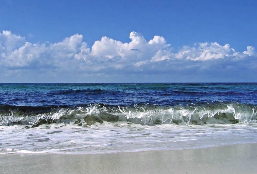
Photo of waves crashing on beach
Types of Barrier Systems. Barrier systems are classified by their form and attachment to the mainland. A barrier spit is attached at one end, extending into a bay or open ocean. These often form where longshore currents deposit sediment at a bend in the coastline. A classic example is Cape Cod, Massachusetts. Some spits exhibit a recurved shape due to wave refraction, such as Sandy Hook in New Jersey. A specialized type, a tombolo, forms when a spit connects an offshore island to the mainland.
When a barrier completely seals a bay from the ocean, it forms a welded barrier. These are common along rocky coasts with low tidal energy, as in parts of New England and Alaska. They can form during onshore migration in response to sea-level rise, where moving sands progressively close off an embayment. The enclosed waters behind welded barriers often become brackish or fresh due to limited oceanic exchange.
Formation and Migration Mechanisms. Barrier islands originate through several mechanisms: the breaching and reworking of accreted spits, the emergence of offshore sandbars, and the submergence of older coastal dunes during periods of relative sea-level rise. Once formed, barriers are in constant motion, responding to storms, currents, and sea-level changes. Retrograding barriers migrate landward via a "rollover" process, where sand is eroded from the seaward face and deposited on the landward side. In contrast, prograding barriers extend seaward due to abundant sediment supply, while aggrading barriers increase their elevation vertically in place to keep pace with rising seas.
The dynamic nature of barrier islands renders fixed infrastructure profoundly vulnerable. Major storms can literally move the sandy substrate from beneath developments, a clear indicator that human settlement patterns must align with geologic mobility. Sustainable coastal management requires recognizing these landforms as fluid, protective systems whose integrity is paramount for both ecological resilience and long-term human safety.
Date added: 2026-07-14; views: 155;