Site Exploration. Archaeological Prospecting. Geophysical Prospecting. Geochemical Prospecting
The first decision that must be made in any new archaeological program is where to dig. In many cases, the decision can be based on historical records, by the visible remains of ancient construction, or by the discovery of abundant artifacts. Literary sources and records of taxation have also been fruitful. Schliemann thought Homer to be an accurate source for locating the site of ancient Troy and calculated the circumference of the city walls by the time needed for Achilles' pursuit of Hector. Details of the production records of each major silver-lead mine of Laurion found in ancient Greek inscriptions were used both for archaeological excavations and for 20th-century mineral exploration. To cover a larger area, remote-sensing imagery from earth-orbiting satellites is commercially available from
American, French, and Russian agencies. The French satellite SPOT, Haute Resolution Visible, provides 10-m ground resolution (pixel level), a useful scale for archaeological decision making. Radar imagery acquired in the late 1980s by the space shuttle revealed an extensive stream system in Egypt that is now completely buried by the sands of the Sahara Desert. The pattern suggested prehistoric sites of habitation which were not apparent from surficial evidence.
However, to see deep enough into the subsurface so that decisions can be made on specific target areas and depths for excavation, and also to obtain an idea of what artifacts and constructions to expect, techniques involving geophysical "black-box" and geochemical methods are increasingly used.
Geophysical Prospecting. After an area has been selected as an archaeological site, but before excavation begins, information on the location and nature of the buried material can be obtained through geophysical techniques. The most common systems employed in archaeological prospecting include the following:
1. Magnetic surveying: measuring the intensity of the magnetic field on the site at selected points over a grid. Variations between the magnitude of the earth's magnetic field and that measured at the grid point will be due to the magnetic properties of subsurface materials, either natural, such as iron-rich sediments, or artificial, such as hearths, buried walls, and artifacts (figure 1.2).
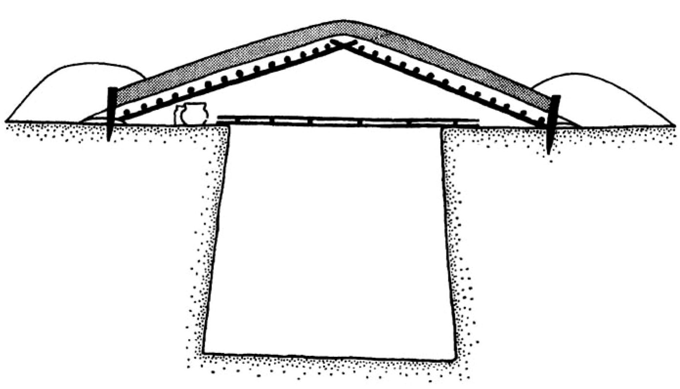
Figure 1.2 Top: Iron Age house (redrawn from Harding, 1970); right: Magnetic survey results, Oxfordshire, Great Britain, of Bronze Age circular ditch-and-barrow features and Saxon sunken houses
2.Electrical resistivity surveying: measuring the current flow in the subsurface between two electrodes at different potentials. This is actually a measure of the electrical resistance and is highly dependent on water content; generally, higher water content in a formation or construction will yield lower resistivity. Stone structures have a higher resistivity than do unconsolidated sediments and soils.
3. Electromagnetic surveying: measures both electrical conductivity and magnetic susceptibility. This technique is excellent for locating large earth features such as mounds and refilled pits.
4. Ground probing radar: locates buried structures and artifacts directly. The sandier the soil, the more translucent to radar. Clay-rich layers tend to be opaque to radar. The exact nature of the object seen by radar must be interpreted archaeologically, however.
Geochemical Prospecting. Human occupation of a site leaves distinctive chemical signatures. Today, we are familiar with human intervention in the atmosphere, in surface and ground waters, and in the soil, all measured by the increasing presence of undesirable and even toxic chemical compounds.
Detectable chemical changes in the soil of an archaeological site caused by habitation of ancient humans are principally the result of the decomposition of organic matter. The principal sources of this material are human and animal excreta, refuse, and decayed human and animal bodies. Phosphorus, carbon, and nitrogen are all released over time in large amounts from these sources and remain in the soil. Other elements are removed from the site by bacterial and chemical reactions. Today, the presence of excess phosphorus in the soil commonly indicates an ancient site of habitation.
Date added: 2023-11-08; views: 652;